Park and square · Galata and Beyoğlu
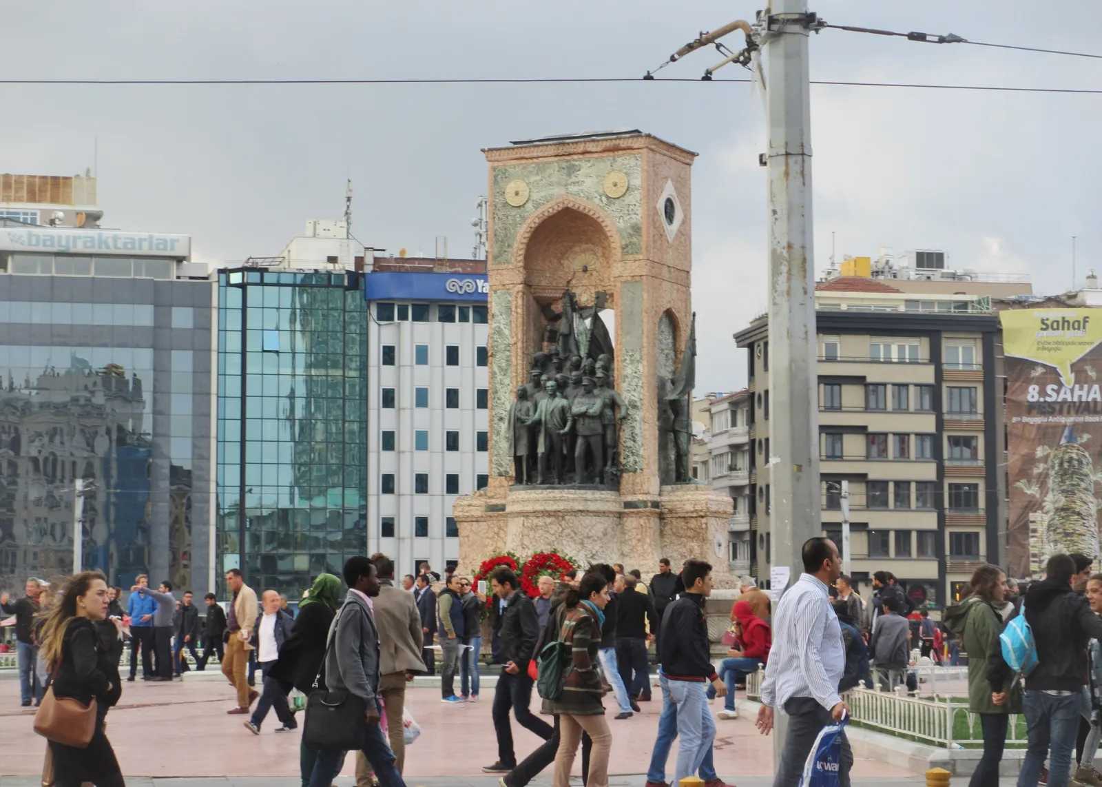
İstiklal Avenue and Taksim Square
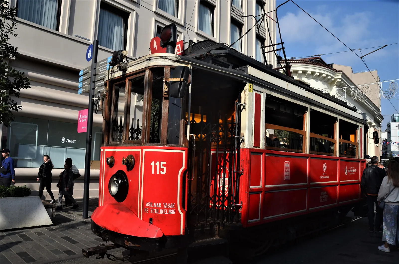
A pedestrian avenue of about 1.4 km from Taksim Square to Tünel, the main axis of Beyoğlu with its heritage tram and 19th-century buildings.
Don't miss
- 01Republic Monument
- 02Taksim water distribution building
- 03T2 heritage tram
- 04Galatasaray High School
- 05Church of St Anthony of Padua
Opening hours
Always open
Not verified yet · check the official site
Tickets
Free
Not verified yet · check the official site
Getting there
The pin is Taksim Square. The other end of the avenue is Tünel; the T2 heritage tram runs along the avenue between the two.
| Stop | Line | Walk |
|---|---|---|
| Taksim | M2 Yenikapı–Seyrantepe–Hacıosman metro · F1 Taksim–Kabataş funicular | 190 m · 3 min |
| Beyoğlu (Tünel) | F2 Historic Tünel funicular (Karaköy–Beyoğlu) · T2 Taksim–Tünel heritage tram | 1.5 km · 19 min |
Walking times were measured along walking routes; crowds and security queues are not included.
Last checked: 17 November 2026 · Source: Metro İstanbul – M2
Short history
The name Taksim comes from the 18th-century water distribution building (taksim, "division") built under Sultan Mahmud I to share out water arriving from the north; the building still stands at the edge of the square. The Republic Monument at the centre, by the Italian sculptor Pietro Canonica, was unveiled in 1928.
Known in Ottoman times as the Cadde-i Kebir or Grande Rue de Péra, İstiklal Avenue became the heart of Pera in the 19th century, lined with embassies, churches, schools and arcades. It was renamed İstiklal ("independence") in the early years of the Republic.
The avenue was closed to traffic and pedestrianised in 1990, and in the same year a heritage tram began running between Taksim and Tünel. Galatasaray High School, the Church of St Anthony of Padua and many historic buildings line the street today.
Not verified yet · check the official site
Visitor rules and accessibility
- Dress code: none
- Photos: allowed
- Accessibility unknown